Cairns M, N and Pollnagollum
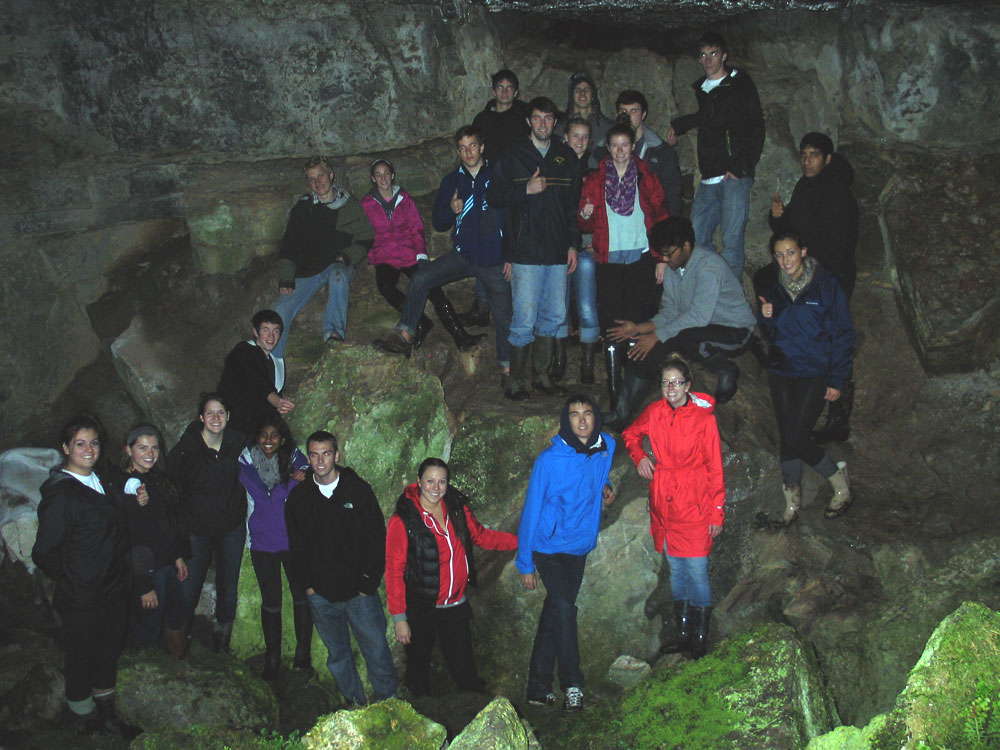
Pollnagollum is a large cave or swallowhole, a few hundred metres south of Cairns K and L. The name of this enormous hole means the Pigeon's Hole or the Dove's Hole and is a commonly found cave name in Ireland.
The Carrowkeel Pollnagollum is a large natural cavity where the ground has collapsed in on an underlying fault-line, leaving a large cavern filled with tumbled blocks of limestone at the bottom. It is a very beautiful place with small trees, grasses and ferns flourishing all year in the shelter from the mountain-top winds provided by the cavity. The cave was examined during the excavations in 1911 with no results.
Cairn M.
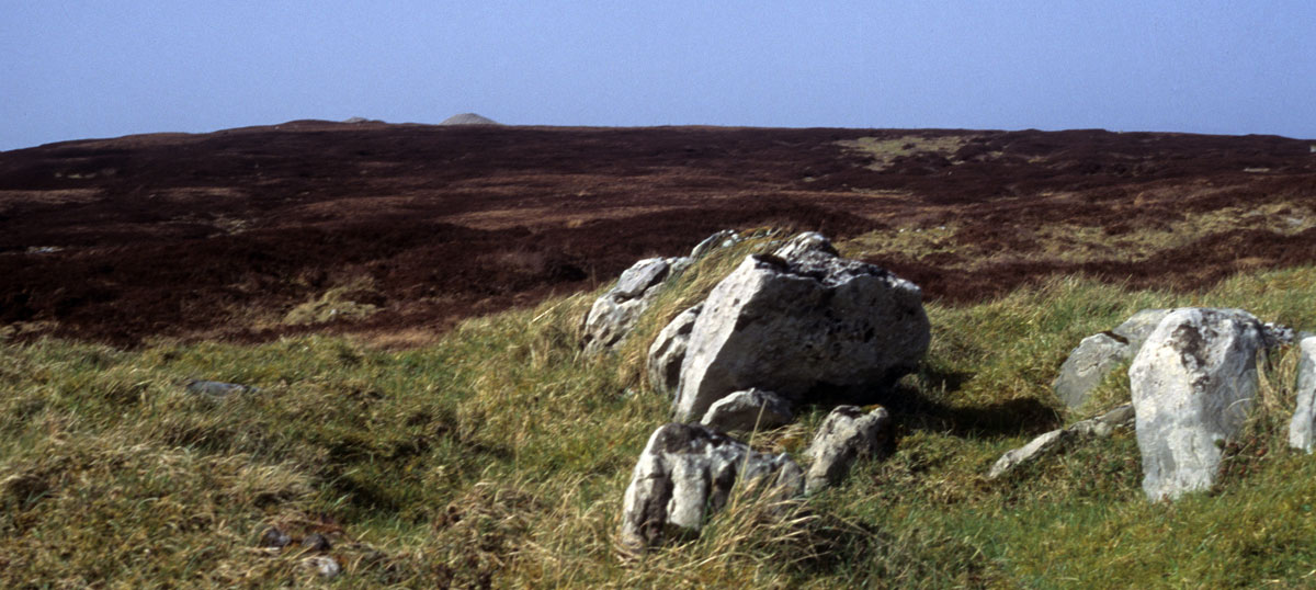
Cairn M is 300 metres south-east of Pollnagollum, where the ground begins to rise again into a low terrace. It can be difficult to find since as there is very little left of the monument. In form Cairn M is a tertre, a chamber sitting on a low platform that was probably a free-standing structure, like those at Carrowmore. R. A. S. Macalister describded the monument in 1911:
A small dilapidated carn ruined to the base, which consists of standing stones about 3 feet high. The diameter is 25 feet: at the north-east face is a passage 10 feet in length, leading to a cist 4 feet square, with two cellae at the side and one at the back. It was evidently a cruciform structure like G and K, but of much smaller size.
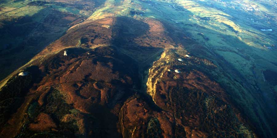
The few remaining stones of the chamber indicate that it was cruciform, and the axis of the monument is aligned to Kesh Cairn which is clearly visible a few kilometers to the west. An orientation towards the Beltaine and Lugnasad sunsets early in May and August seems likely.
Stefan Bergh excavated this monument in 1986:
Carrickahorna East - Passage tomb - G755116
The site, called 'Cairn M', constitutes a part of the passage tomb complex at Carrowkeel in the Bricklieve Mountains, Co. Sligo. It is one of the very few sites that was not dug into by Macalister in 1911, because it was considered as being 'ruined to the base' (PRIA 29C, 330).
The excavation forms part of a study of the passage tomb tradition in Co. Sligo, which will be presented as a Ph.D. thesis in archaeology at the University of Stockholm. The excavation was funded by the same university and was carried out over a two-week period.
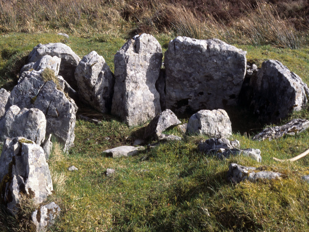
The chamber, which lacks capstones, is of the cruciform type and is enclosed in a cairn with a diameter of c. 8m and a height of c. 0.60m. The main aim of the excavation was to record the original size and construction of the cairn.
A trench, 1.20m x 6m, starting c. 3m outside the cairn and ending at the chamber orthostats, was excavated. The trench reached the chamber at the angle between the front and right-hand recesses. No part of the chamber was excavated.
The cairn consisted of a very compact construction of limestone with the size of the stones within the range 0.10m-0.80m. The cairn had slipped slightly towards the chamber and the orthostats in this part were leaning inwards. The uppermost part of the cairn consisted mainly of small stones but lower down a wider range of size was present.
Close to the orthostats a number of relatively large stones formed the core of the cairn. The diameter of the original cairn construction is estimated to have been c. 1m less than the present cairn. No kerbstones were found. A deposit of cremated and un-cremated bones was found between two of the orthostats, at a level similar to the lower part of the cairn.
Stefan Bergh, Department of Archaeology, University of Stockholm, Sweden
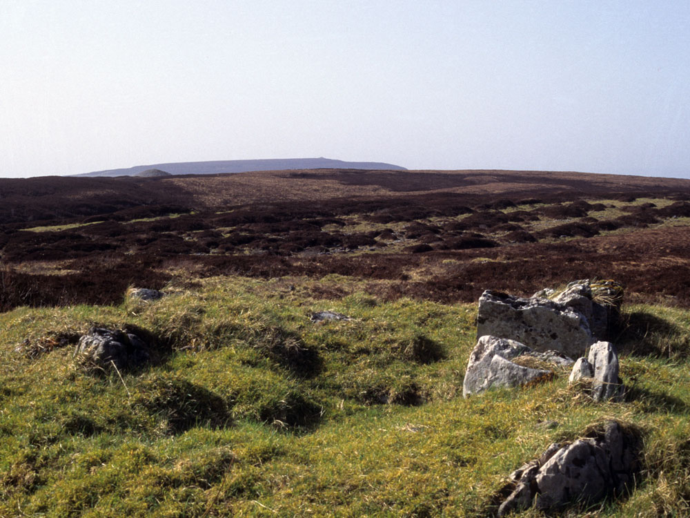
Cairn N
Is similar to M, and in similar condition. It was about 20 feet in diameter. Three jamb-stones remain on the east side of the entrance, which faced the north. The chamber seems to have been cruciform. It is probable that the stones which originally covered these two carns were removed for building boundary walls.
1911 Report
Cairn N is just south and above of Cairn M and is also largely destroyed. Again, as with Cairn M, the monument is a tertre, a platform and chamber that were never covered with stones. A few stones from the passage and kerb are all that remain. Cairn N is oriented to around 40° west of north, and once again it frames the Pinnacle, Kesh cairn on the summit of Kesh Corran to the west. Cairn F also stands out, though under or within the top of Kesh Corran, and may have served to mark or meaure the movements of the sun and moon: see photo above.