Cairn A - Tully Mountain
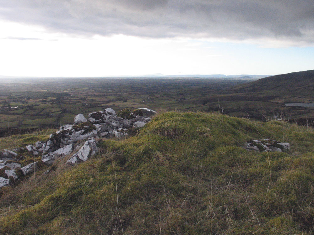
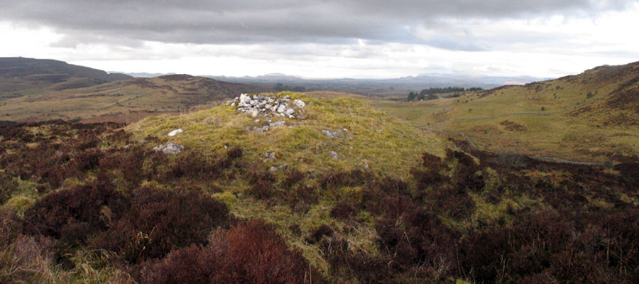
Cairn A is a small, unopened grass-covered cairn, three meters high and 14 meters in diameter, located in the townland of Tully to the southwest of Carrowkeel. It is somewhat isolated from the main group, but is placed in a position where Cairn B is visible. Perhaps belongs more to the Kesh and Sheecor group of cairns west of Carrowkeel.
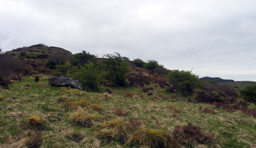
Cairn A is visible as a small green bump straight ahead on a spur of the hill before taking the left turn into Carrowkeel on the way up from Castlebaldwin.
Cairn A was discovered by Praeger in 1911, as he went on a field walk while Macalister and Armstrong carried on with the digging in Carrowkeel. When he examined this monument, Macalister considered this cairn too small to contain a chamber and possibly considered it unworthy of excavation. Cairns without chambers, or where they could not find the chamber, were considered to be cenotaphs - monuments to people buried elsewhere - by the antiquarians.

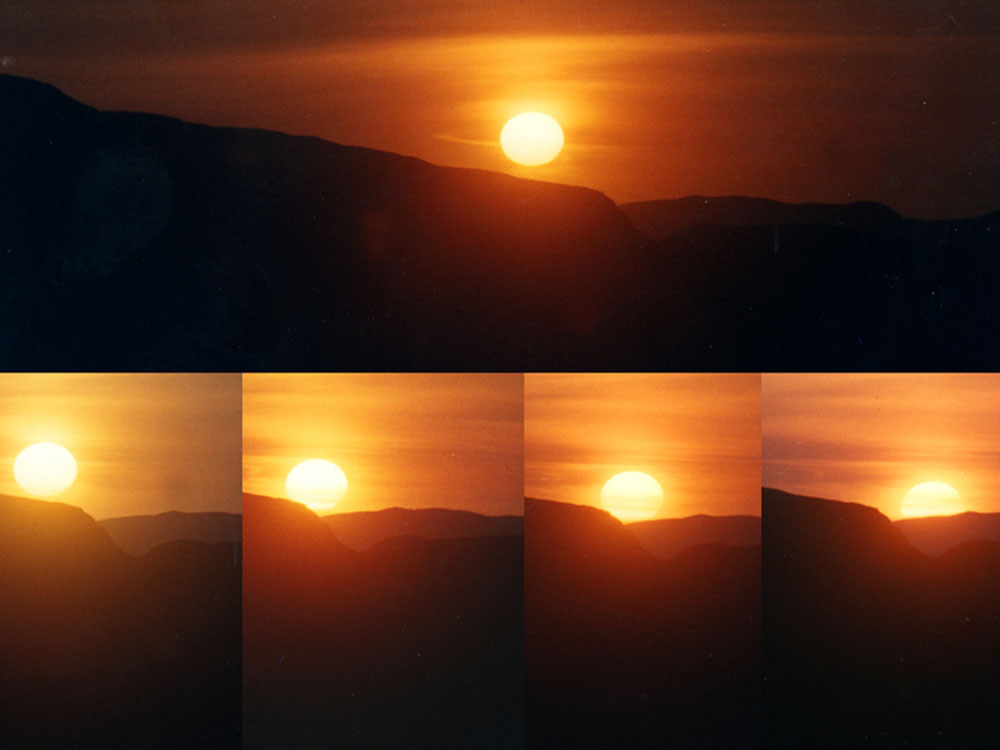
Whatever else it was designed for, Cairn A has a fantastic view out through the Bricklieves and across the Plain of Sligo to the north and west, and serves as a platform to watch the movements of the sun, culminating at the mid-summer su set. As the sun descends, it drops over the valley or notch between Cairnaweeleen and Kesh Corran. This alignment has been photographed by researcher Leo Regan
This use of the mounds as platforms to observe the movements of the heavens is a much overlooked aspect of these monuments. They are special places to stand and observe solar, lunar and stellar rising and setting positions at particular times in their cycles. There is a good chance that the extreme mid-winter setting moon will set into the gap between Doomore cairn and Treanmacmurtagh cairn, midway between Kesh cairn and Knocknarea.

Cairn A: Macalister's comments
A small grass-grown carn, about 6 to 8 feet high, and 40 feet in diameter. It appears to be a cenotaph, there being no room for any internal structure. The greater part of its bulk consists of two natural knobs or bosses of rock which have been utilized in its construction. There are traces of a kerb surrounding the base.
There is an Ordnance Survey beacon erected on the carn, the height of which is given as 821 feet, but the carn itself is not recorded. It is possible that this structure, which, though small, is prominent, owing to its commanding position, gives its name to the townland.


