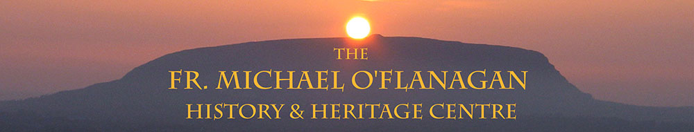
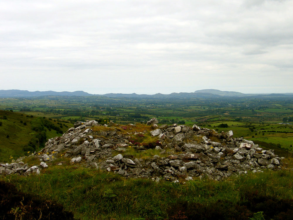
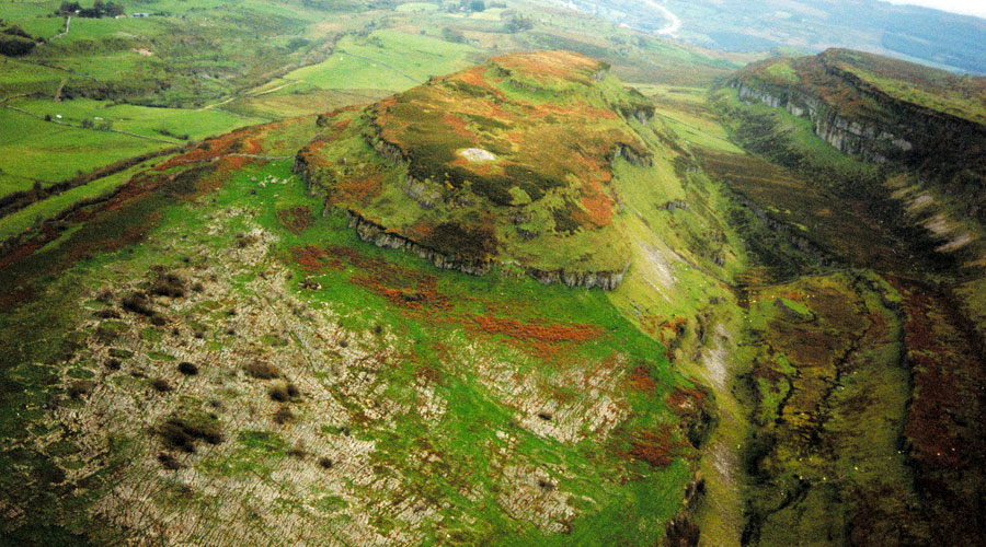
Standing upon the cliffs at the eastern edge of Carrowkeel mountain, Doonaveeragh Mountain resembles a gigantic ship or Ark. Cairn O is situated on the summit at the north end of Doonaveeragh Mountain, overlooking the neolithic village site on the plateau below. Cairn O is one of the more difficult monuments to access for the terrain is wild and overgrown. The cairn is about 20 meters in diameter and contains a tiny pentagonal chamber, high up in the cairn in the southeast side.
View to the neolithic village from Cairn O.
Evidence of the hurried nature of Macalister's 1911 excavation can still be seen here. Like Cairn B, the labourers worked their way around the top of the cairn seeking entry. They left a disturbed ring around the edge of the cairn where they pitched out stones all around in their search for the entrance.
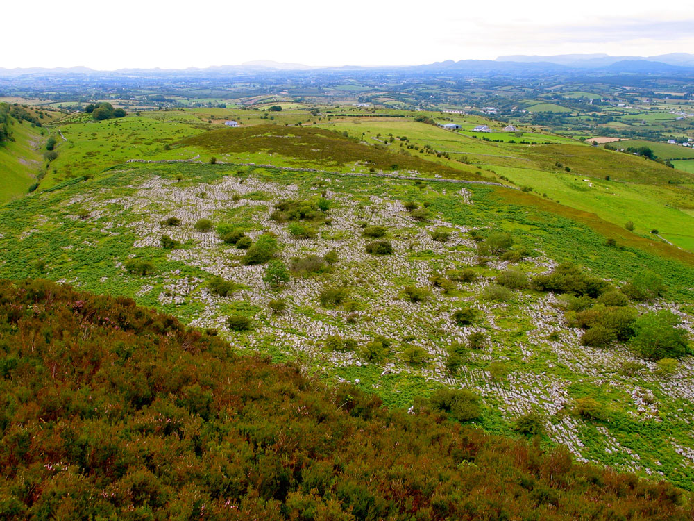
Carn O - A small carn, about 17 feet high and 58 feet in diameter at base, roughly built of stones rather larger than are used elsewhere in the series. Near the top, on the southern side, was a small pentagonal cist, about 3 feet 6 inches high and 4 feet in maximum length, covered with a single slab of stone.
Plan of Cairn O from the 1911 excavations.
It was entered through an opening 10 inches wide from a manhole, also pentagonal, and covered with two slabs. The floor of the cist was quite irregular and was heaped up with discs of sandstone, bone, and ashes. The height is given on the O. S. map as 890 feet above sea-level.
There is barely room for one person to squeeze into this tiny
chamber which resembles the shape and structure of some of the small Carrowmore chambers. This may indicate that Cairn O is one of the oldest of the monuments at Carrowkeel.
View to the northwest from Cairn O.
Perhaps it was not intended for people, only burials, as has been suggested of the small chambers at Carrowmore.
The orientation of this chamber is directed away from the rest of the monuments at Carrowkeel, towards Sheemor and Loughcrew 75 kilometers distant. The chamber may be aligned towards to the extreme lunar standstill rising or towards another monument, symbolically linking Carrowkeel with the sites on the other coast of Ireland.
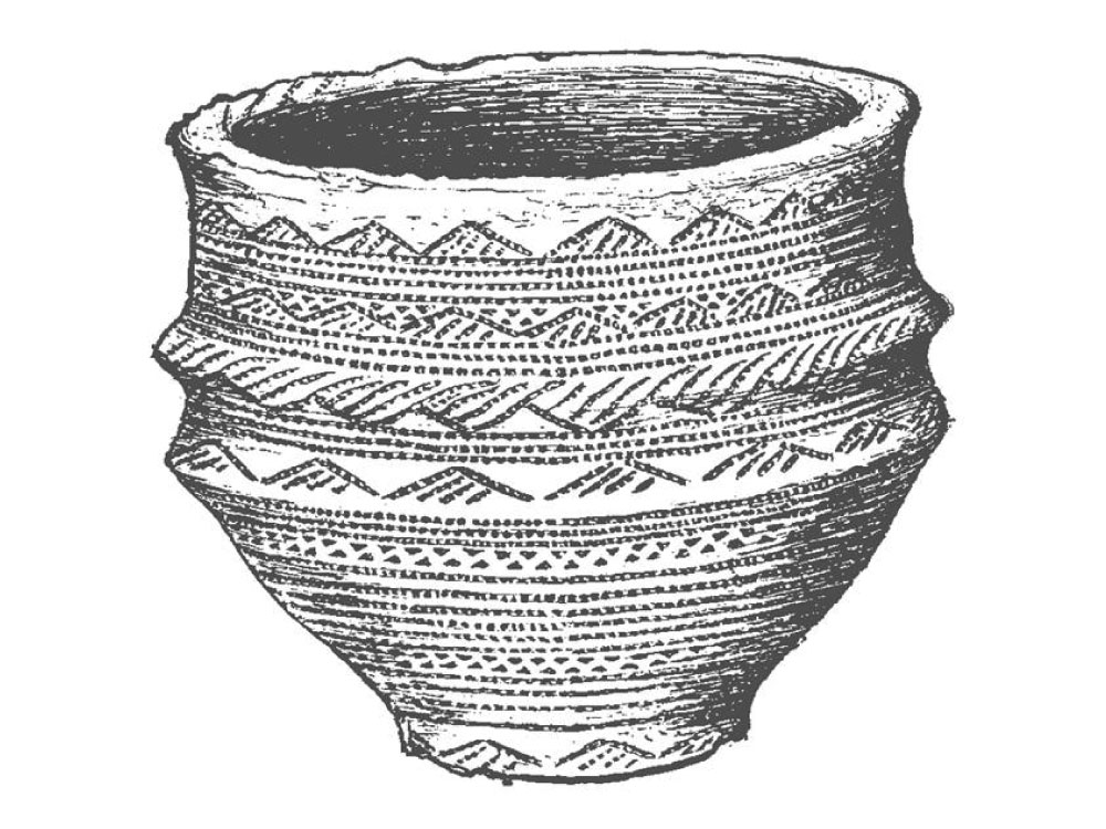
The only find from the chamber in 1911 was this fine Bronze age food vessel which shows that the monuments were being used beyond the neolithic.
The entrance to this carn was found on the south-east side, and disclosed a pentagonal cist, covered by one single stone, with a pentagonal anti-chamber of small size, covered by two stones. An urn was resting on the top of a pile of burnt and unburnt bones, intermixed with flat sandstone slabs, about one foot in diameter. No other pottery or fragments or any objects were discovered in this cist.
Cairn P
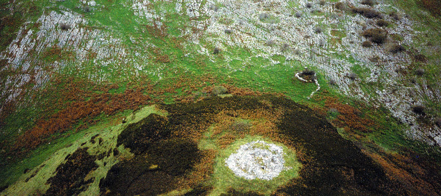
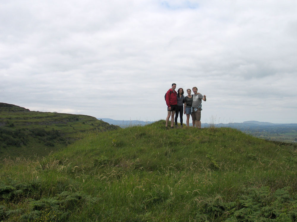
Cairn P is a small round cairn a few hundred meters south of Cairn O, situated
on the highest point of Doonaveeragh Mountain at 283 meters above sea level. The view from this cairn is panoramic and looks out across Cairn O and the neolithic village to the wider landscape.
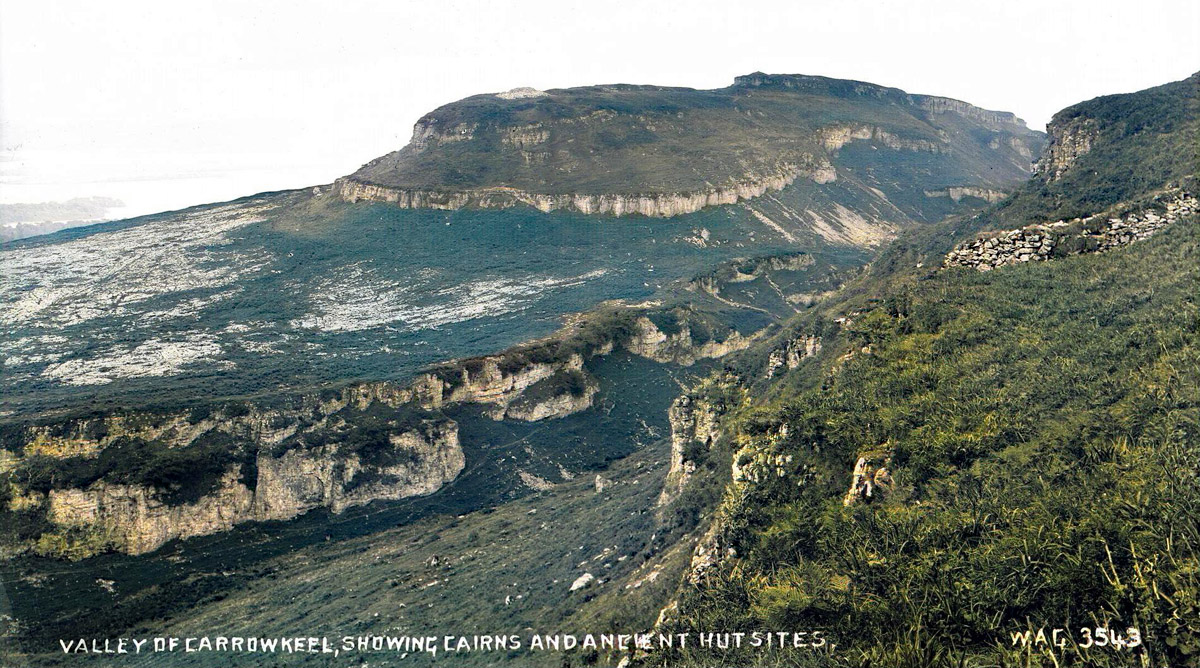
The whole mountain points to the imposing hill of Knocknarea 25 kilometers distant on the horizon, and Carrowmore, the largest and oldest cluster of passage-graves in Ireland.
R. A. S. Macalister reports that his team spent some time digging into Cairn P, but they gave up and concluded that the mound was blind grave or a cenotaph, and not worth any more effort.
Carn P—A beautifully built conical cam, about 12 feet high, and 33 feet in diameter at the base. The Ordnance map gives 138 feet as its height above sea-level. The most careful examination of this carn failed to reveal any cist, chamber, or interment; it is a cenotaph, like Carn A. Four large boulders of rock had been laid on the site chosen for the carn, and the stones were heaped on these.
Today it doesn't look disturbed enough for them to have dug too deeply. Macalister noted that the cairn, which is about 9 meters in diameter, was well constructed on a foundation of four massive boulders.
View to the northwest from Cairn P. Carrowkeel, left and Knocknarea, right.
There is an interesting optical trick in the view from these Cairns O and P. From Cairn O, Cairns G and H are visible on Carrowkeel, as is the large erratic boulder, but Cairn K cannot be seen. From Cairn P, Cairns G and K are visible, but now Cairn H cannot be seen. These two sets of angles may offer extra positions from which to observe the midsummer sunsets. Cairn P appears to be on a major line which extends from Kesh Cairn to Sheemore in County Leitrim,
and possibly across the country to Loughcrew.
It is highly likely that Cairn P was used as a lookout by Red Hugh O'Donnell's forces during the Nine Years War (1593 - 1601). His armies were known to the Doonaveeragh plateau as a camp site: the location overlooks the Red Earl's Road, the medieval highway along the edge of the Bricklieve Mountains.