Circles 5 and 6: destroyed monuments at Carrowmore
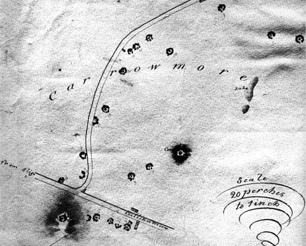
There is little remaining of Circles 5 and 6 at Carrowmore. This pair of monuments seem to have been removed during land clearance around 1815. Circle 5 is clearly shown on Beranger's map of 1779, where he marks the monument as a semi-circle of stones. The remaining portion of this ring were used to build a field wall some time before George Petrie's visit in August of 1837. Petrie stayed with his younger friend Roger Walker, who was a local landlord and an keen antiquarian. Walker is believed to have opened and excavated many of the Carrowmore circles, but kept poor records of his activities.
Walker showed Petrie around the monuments at Carrowmore, many of which he had previously opened and cleared out. During his visit, Petrie questioned and interviewed the tenants who rented the land to find out how many more circles had been destroyed. He believed that many of the large circles to the south side of Carrowmore were removed around the same time, shortly before his visit.
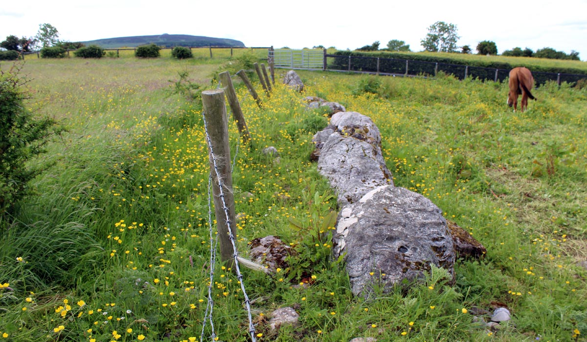
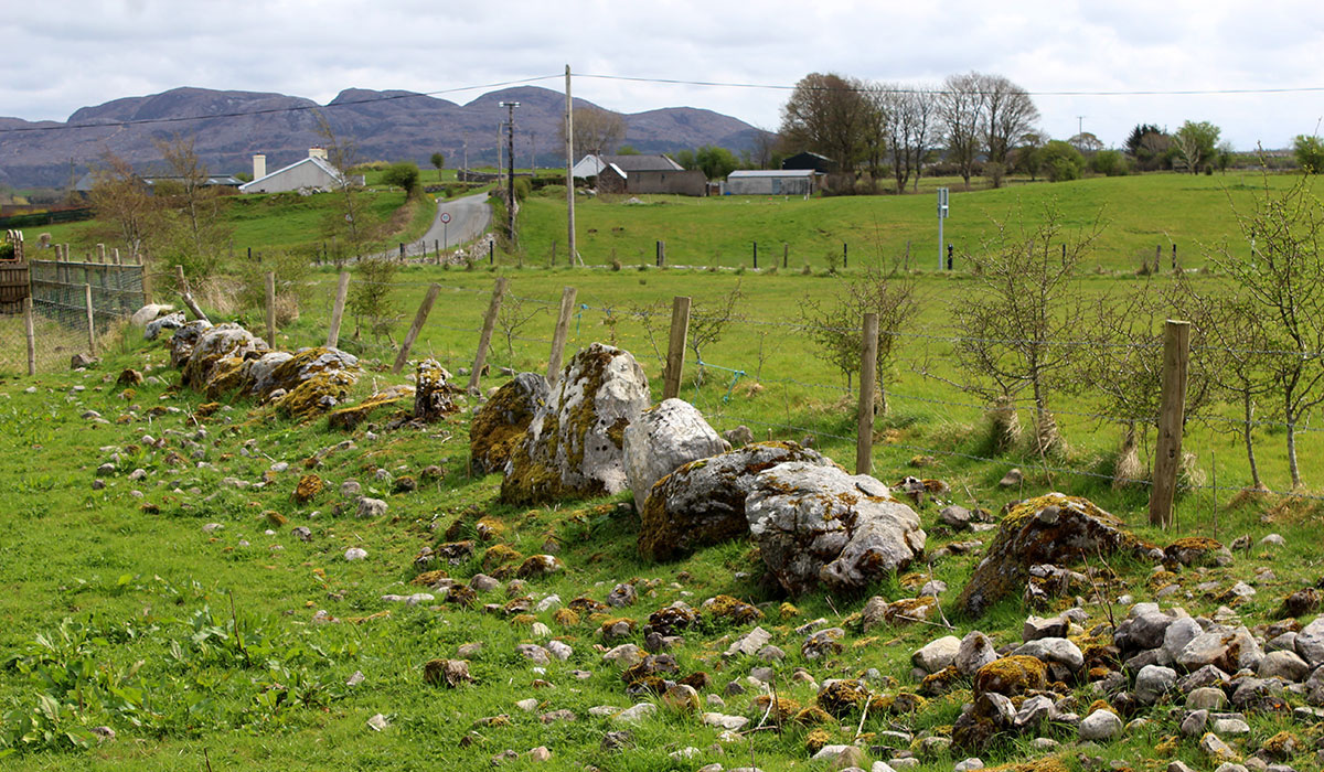
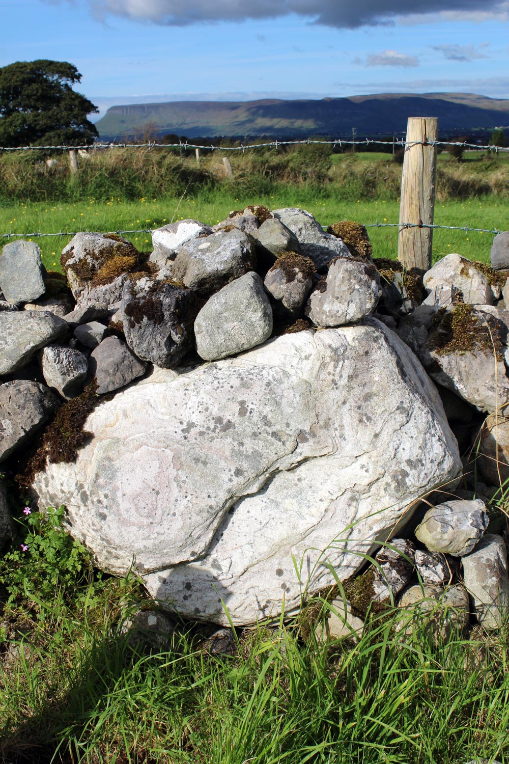
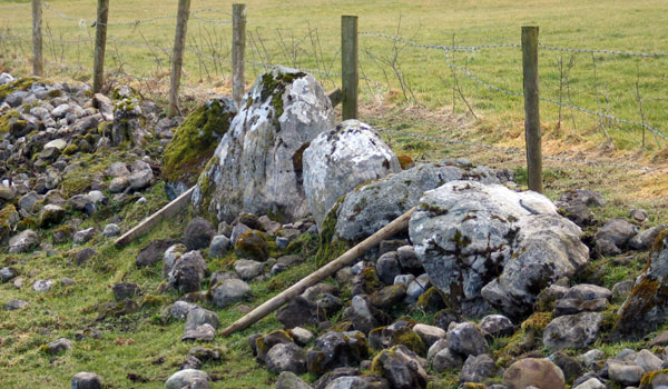
The stones of Circle 5 are still clearly visible in the field wall close to the buried Pahntom Stones.The large split boulder, now standing upright may well have been the capstone which covered the burial chamber.
Number 5. Of this circle (writes Dr. Petrie) only eight stones remain in their original position, and the cromleac is entirely destroyed. The diameter was about the same as that last noticed (40 feet), from which it is only fourteen paces distant to the northeast" No traces of this now exist, but the stones may be observed in the boundary fence.
William Gregory Wood-Martin, 1886.
No. 6 (1) (dolmen-circle). The situation of this is marked by a gravel-pit Northeast of VII.
William Copeland Borlase, 1897.
"This circle and cromleac were destroyed about the year 1815 in raising gravel."
George Petrie, 1837.
No. 6 (2) Dolmen-circle, between the gravel-pit and X.
Several very large stones, which there can be but little doubt belonged to another circle.
George Petrie, 1837.